The Free Printable Labeled and Blank map of Botswana in PDF is about Botswana which is located in the southern area of the African continent with a population of 2 million people, about the same size as France, and is bordered by 4 other countries.
Blank Map of Botswana
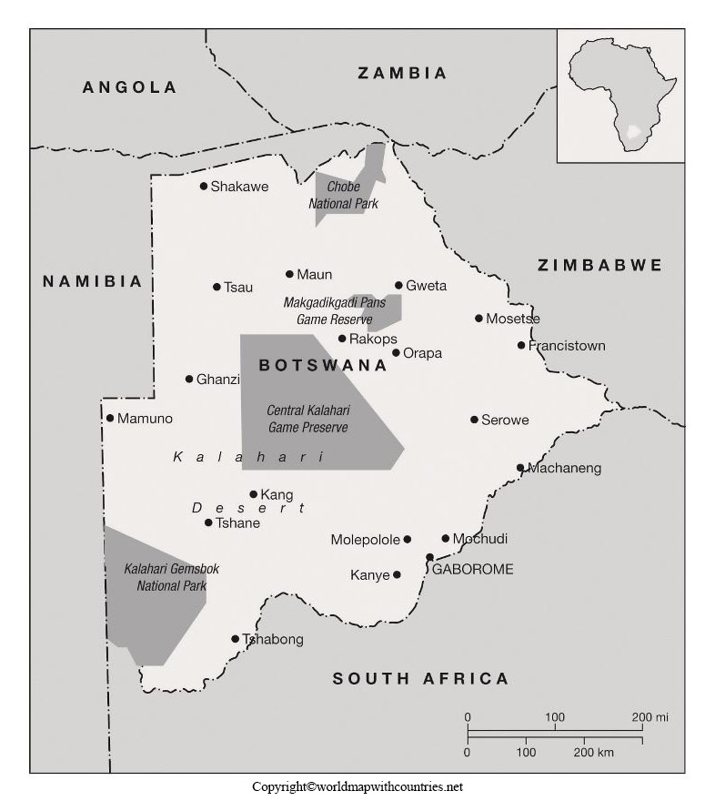
Looking at the map, you would think Botswana is only bordered by Namibia, South Africa, and Zimbabwe, but if you look very closely at the northeastern tip where the Chobe river meets the Zambezi, you see the Zambezi quadripoint, in which all 4 countries meet.
This spot has the ever so narrowest of borders, only a few dozen meters wide, that Botswana has with Zambia on the Zambezi river.
Labeled Map of Botswana
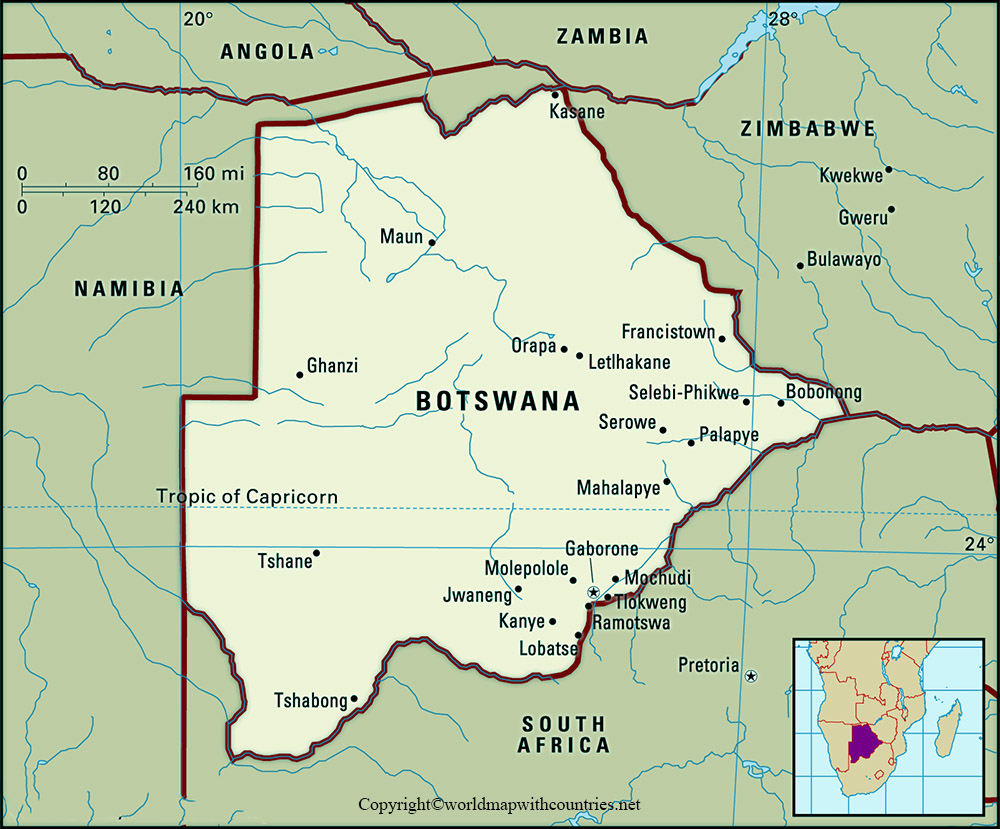
This area is right on the A-33 road that takes you to the Kazungula Ferry, the only place in all of Botswana that gives you access to Zambia directly from Botswana. This is also the only part of Botswana that touches the world-famous Zambezi River, which has been historically used for centuries for navigating across the African savannas.
Botswana’s capital and largest city are Gaborone, Located close to the border of South Africa, and the country is divided into 9 districts.
Botswana Map with States
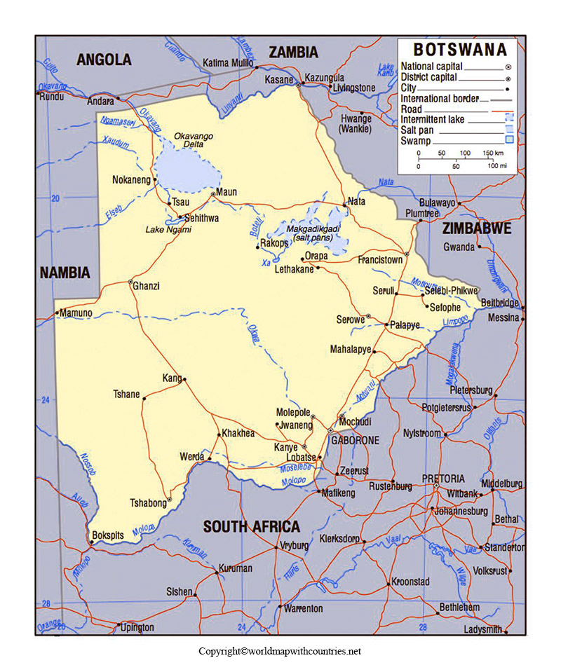
Most of the borders are rivers. Like the Chobe, the Limpopo, the Shashe, which by the way, in the very east. Botswana is pretty open and free, it’s the 3rd least densely populated country in Africa.
the country is generally flat and about 70% of the country is dominated by the semi-arid Kalahari Desert in dry savannas, especially in the west part of the country.
Printable Map of Botswana
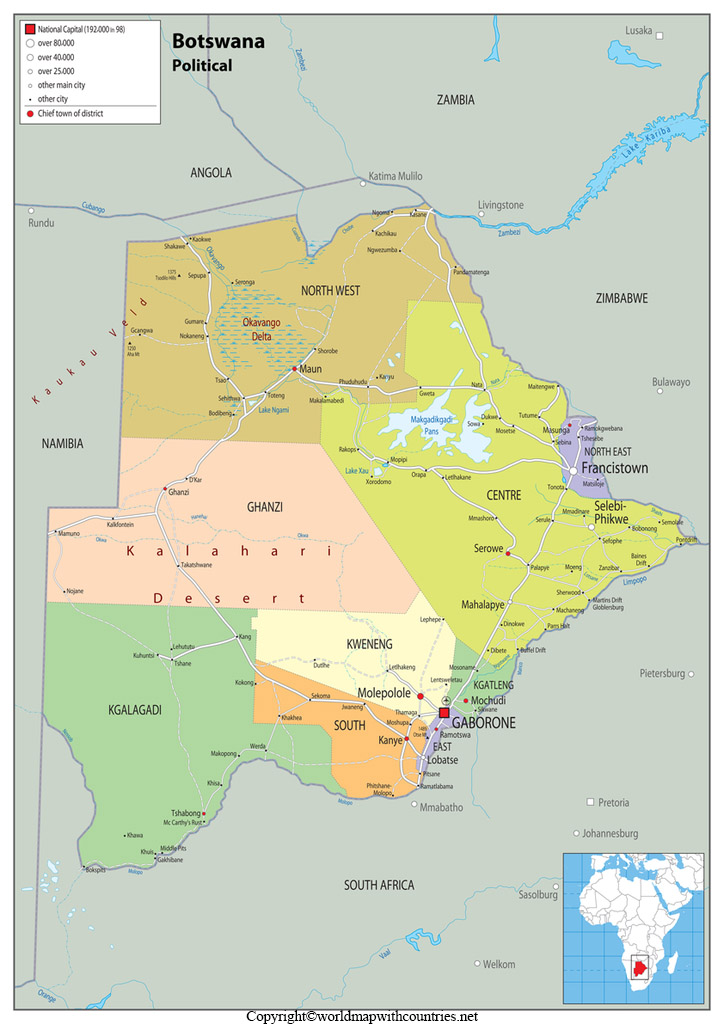
The Okavango River meanders into geological faults that, in response, spread the waters out into a vast network of channels, creeks, and wetlands. Every year rainwater from the highlands of Angola comes down and surges into the Okavango, causing the entire flood basin to swell up to 3 times its permanent size between March and June.


