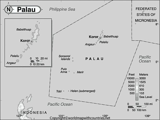
Map of Palau: The Republic of Palau is an island country consisting of a group of 340 islands scattered in the western Pacific Ocean. These 340 islands combined with the Federation States of Micronesia, form the western chain of The Caroline Islands. Palau is a very beautiful country with mesmerizing beaches and amazing bays. The country has a very thin population of only 17, 907 acquiring a landmass area of 459 square kilometers.
Blank Map of Palau

Palau is also famous for Milky Way Lagoon on Koror Island. The white mud found on this island is unique and treated as a natural spa. All tourists visiting Palau compulsorily go to have a mud bath. According to the details shared by local people by applying white mud and silty water to the skin, anyone can improve skin tone and a person can look much younger than their actual age.
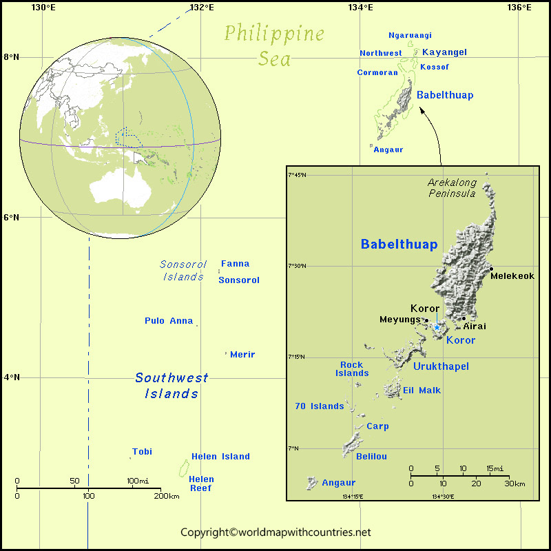
Labeled Map of Palau

A unique thing about the society of Palau that it is based on the matriarchy system i.e women are the head of the family. Unlike other countries, this Matrilineal is inherited and the practice prevails in marriage, earning, funeral, and all other aspects of life in this beautiful country.
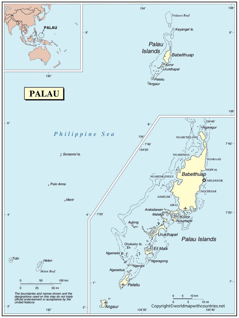
Palau Map with States

People swim along with these tiny little beautiful creatures since these fishes are not at all poisonous. Palau has kept their environment in its primitive natural state and it tries to preserve its ancient biodiversity.
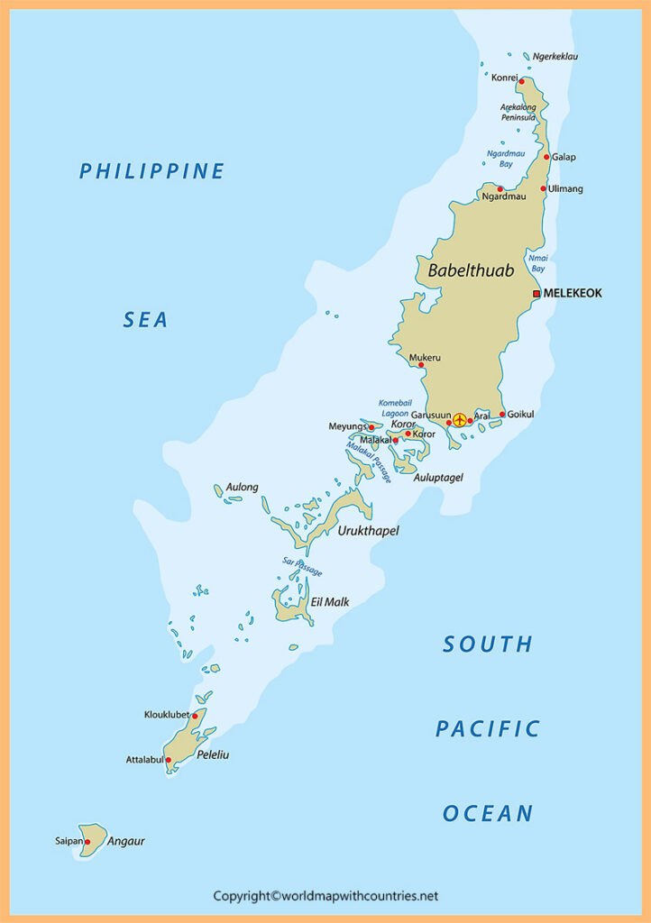
Printable Map of Palau

The people in Palau have built the world’s first shark sanctuary in 2009 to protect sharks from being killed. They banned all the activities that involve shark killing. There are more than 130 different species of sharks available in Palau water and people here love to dive along with sharks.
Palau maps are provided which detail all major information about the country so that tourists can obtain most of the knowledge from it.

