This is about Map of Algeria a Muslim country of North Africa. Get printable, labeled, map in pdf format of Algeria and use it accordingly. These maps are good in quality and you can use them again after printing once.
Algeria Map with States
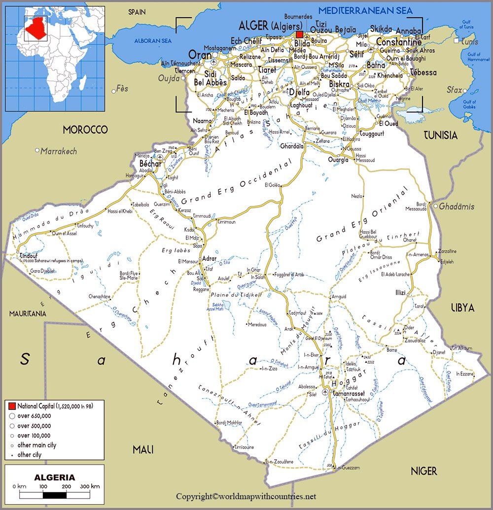
Algeria is spread from the mediterranean sea to the southward part of the Sahara desert, but most people live near the coastal area. The Sahara desert is one of the most heated surfaces in the world and covers the 4/5th part of Algeria. This is the reason of the extreme climate of the country. A novelist from the country named Assia Djebar called it a dream of sand.
Algeria Printable Map:
Tunisia and Libya bound it from Algeria, Niger, Mali, and Mauritania from the South and Morocco and Western Sahara towards the west, and Mediterranean sea towards North.
Blank Map of Algeria:
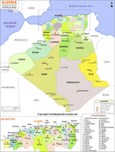
Labeled Map of Algeria:
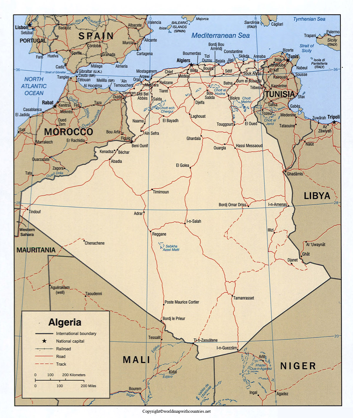
One-fourth of the country is Arab and most of them are Amazigh descendants and from 1990 Arabic is the national language. Tobacco, olives, and other crops as are sorghum, millet, corn (maize), rye, and rice are cultivated. It is also a supplier of crude oil and at the same time, Ouenza and Djebel Onk are the important mining centers.


