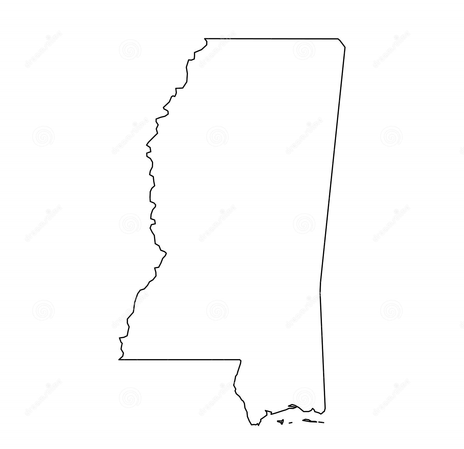
Mississippi is a state located in the southern region of the United States. With a population of approximately 3 million people, Mississippi is the 32nd most populous state in the country. The state is bordered by Tennessee to the north, Alabama to the east, the Gulf of Mexico to the south, and Louisiana and Arkansas to the west.
Mississippi Outline Map

Click Here to Download
An outline map of Mississippi is a useful tool for students, educators, travelers, and anyone interested in learning more about the geography of this state. An outline map is a simplified representation of the state, highlighting only the major geographic features, such as its borders and rivers. The main advantage of an outline map is that it provides a clear and concise visual representation of the state’s geography, making it easy to understand and use for various purposes.
A blank map of Mississippi, on the other hand, is a completely blank map of the state, with no labeling or geographic features marked. This type of map is often used by students and educators for various purposes, such as studying the geography of the state, practicing map-reading skills, and testing their knowledge of the state’s geography.
Mississippi is divided into 82 counties, each with its own unique geography and history. The state’s capital is Jackson, located in Hinds County in the central region of the state. Mississippi is also home to several major cities, including Gulfport, Biloxi, Hattiesburg, Meridian, and Greenville.
The geography of Mississippi is diverse and includes coastal plains, rolling hills, and fertile valleys. The state is also home to several major rivers, including the Mississippi River, the Pearl River, the Tombigbee River, and the Yazoo River. These rivers have played a major role in the development of the state and its economy, providing transportation and irrigation for agriculture, and powering hydroelectric dams.
Mississippi is also home to several important ecosystems, including the Gulf Coastal Plain, the Black Belt Prairie, and the Mississippi River Alluvial Plain. These regions are home to a variety of plant and animal species, including many that are unique to the state. The Gulf Coastal Plain, for example, is home to a rich variety of wetlands and estuaries, as well as longleaf pine forests and a thriving fishing industry.
In terms of economy, Mississippi is a state that has traditionally been dominated by agriculture and manufacturing. Cotton and soybeans are two of the state’s most important crops, and the state is also home to several major manufacturers, including shipbuilders, paper mills, and furniture makers. In recent years, the state has also developed a strong tourism industry, with visitors drawn to its beaches, historic sites, and outdoor recreation opportunities.
In conclusion, the outline map of Mississippi and the blank map of Mississippi are both important tools for understanding the geography and history of this state. Whether used for education, travel, or research, these maps provide a clear and concise visual representation of Mississippi’s diverse geography, rich history, and thriving economy. Whether you’re a student, teacher, traveler, or simply someone who is interested in learning more about Mississippi, these maps are an essential resource for anyone seeking to explore and understand this great state.


