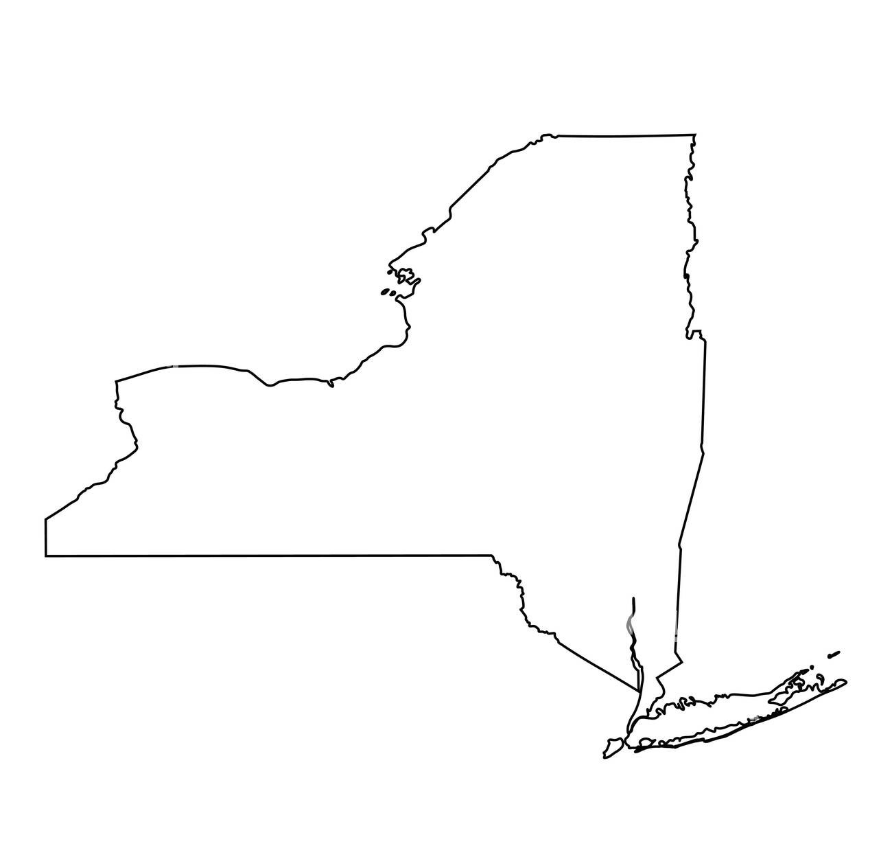
New York, the Empire State, is one of the most iconic and well-known states in the United States of America. It is known for its bustling cities, diverse culture, and rich history. To truly understand New York and its place within the United States, it is important to have a strong understanding of its geography. One of the best ways to do this is through the use of a New York outline map or a blank map of New York. These maps serve as a visual representation of the state’s borders, cities, and geographical features, and can help provide a better understanding of New York’s geography.
New York Outline Map

Click Here to Download
The state of New York is located in the northeastern region of the United States and is bordered by Vermont, Massachusetts, Connecticut, New Jersey, and Pennsylvania. It is also bordered by the Canadian provinces of Quebec and Ontario. The state is divided into 62 counties and is the third most populous state in the country, with over 19 million people living within its borders.
One of the most important geographical features of New York is its major waterways. The state is home to several major rivers, including the Hudson River, which runs through the heart of the state and provides a major transportation route for goods and people. The Niagara River, which forms the boundary between New York and Canada, is also a major feature and is famous for its stunning Niagara Falls. The St. Lawrence River, which separates New York from Quebec and Ontario, is also an important waterway and serves as a major transportation route for goods and people.
In addition to its waterways, New York is also home to several mountain ranges and highlands. The Adirondack Mountains are located in the northern part of the state and are known for their beautiful natural scenery and outdoor recreational opportunities. The Catskill Mountains, located in the southern part of the state, are also a popular tourist destination and offer a range of outdoor activities, including hiking, camping, and fishing.
The geography of New York also plays a major role in its economy. The state is home to several major cities, including New York City, Buffalo, Rochester, Syracuse, and Albany. These cities are major centers of commerce and industry and play a key role in the state’s overall economy. New York City, in particular, is one of the largest and most important cities in the world and is a major hub for finance, media, and technology.
The use of a New York outline map or a blank map of New York is an important tool for understanding the state’s geography. These maps allow individuals to see the boundaries of the state, its cities and towns, and its geographical features, such as rivers, mountains, and highlands. This information can be used to better understand the state’s economy, culture, and history, and can help to provide a more complete picture of New York and its place within the United States.
In conclusion, the New York outline map and the blank map of New York are essential tools for understanding the geography of the Empire State. These maps provide a visual representation of the state’s borders, cities, and geographical features, and can help to provide a better understanding of New York’s economy, culture, and history. Whether you are a student, tourist, or simply someone interested in the state, a New York outline map or a blank map of New York is an important resource that can help you to gain a deeper understanding of this great state.


