

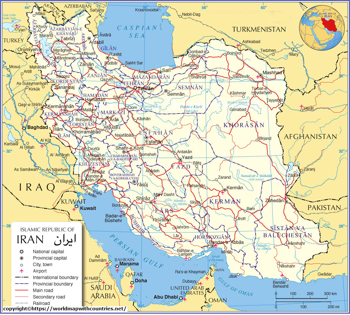
Learn about Iran, a mountainous country situated in southwestern Asia with this Blank map of Iran in PDF. Iran is an Islamic country situated in between the Caspian Sea and the Persian Gulf from the north to the south. Officially it is termed the Islamic Republic of Iran. Afghanistan, Armenia, Azerbaijan, Iraq, Pakistan, Turkey are the countries sharing the border with Iran.
-
- Blank World Map
- World River map
- World Map Poster
- World Map for Kids
- Europe Map
- World Map quiz
- Printable World Map
- World Map with Countries
- Interactive World Map
- Labeled World Map
- World Map pdf
- World Satelite Map
- World Map With Continents
- world map template
- World Map with Oceans
- Physical World Map
- Political World Map
- World Map outline
Printable Map Of Iran


The total area of Iran is 1,648,195 km² which is 3 times greater than France. A large area of the Iranian Plateau is occupied by the country and the coastal regions at the Persian Gulf are part of the Arabian plate. The population of the country is about 82 million people. Tehran is its largest city and also the capital of the country. Mashhad, Isfahan, Karaj, Tabriz, Shiraz, Ahvaz, and Qom are the other major cities. Persian or Farsi is the official language and the average population follows the Shia Islam religion.
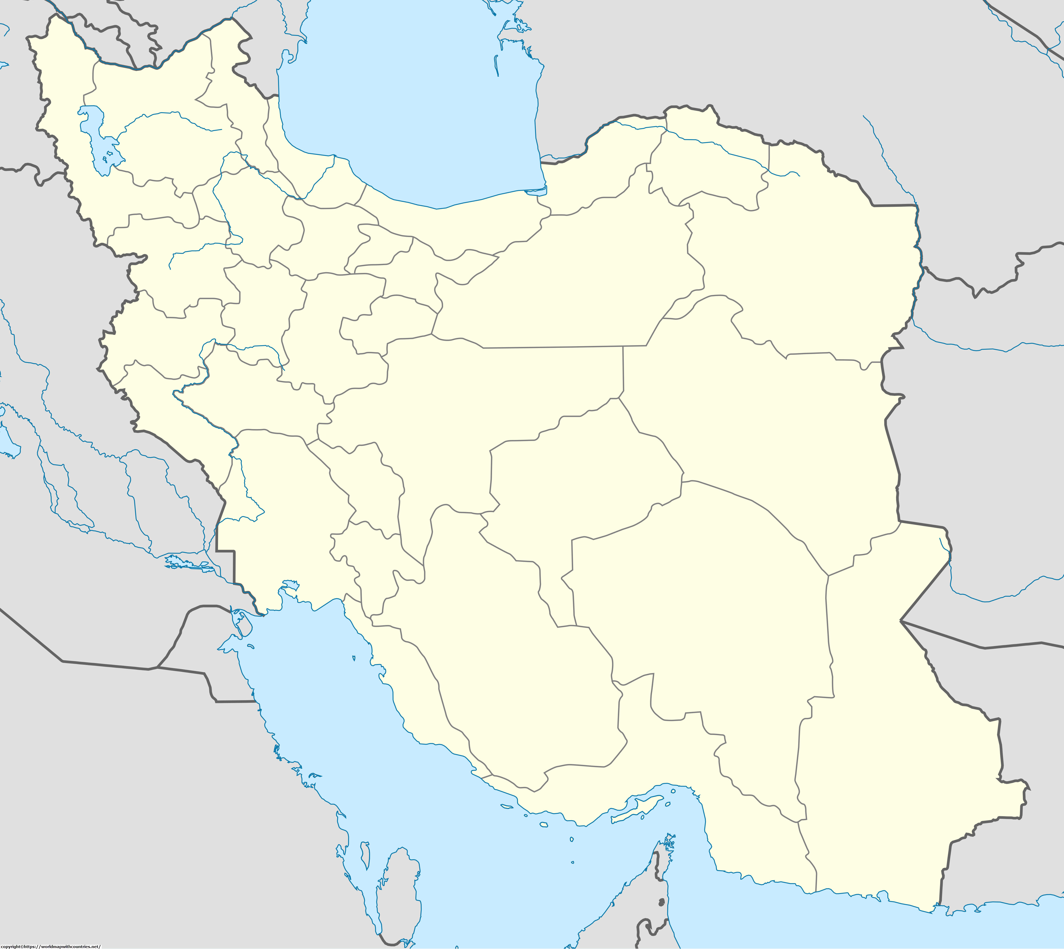
Blank Map Of Iran Outline:


Mountain ranges including the Caucasus, Zagros, Elburz turn the country’s terrain into mountainous. The Elburz range at Mount Damavand with a height of 5,610 meters is the highest point above sea level. The Dasht-e Kavir and the Dasht-e Lut are the largest desert and habitats of the Asiatic cheetah. You can locate all these geographical locations easily on the map of Iran. Other
Labeled Map Of Iran:


You can locate jungles as the Golestan National Park, the Caspian Sea which are the habitat for many species of wildlife, including the Caucasus leopard, lynx, jungle cat, and birds. Soil quality varies from brown forest to bedrock, alluvial chalky, it also contains slightly alkaline. Soil quality is infertile and light in color due to the saline and alkaline soils in the arid regions.
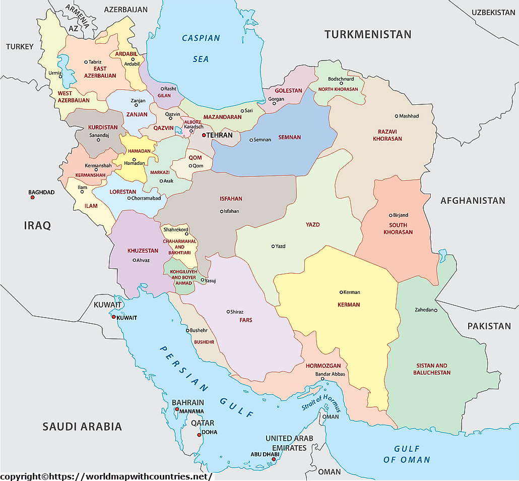
Iran Map With State:


In around 320 km of the northwest, there is lava and ashes, another volcanic region is in between Lake Urmia (Orūmiyyeh) and the city of Qazvīn. Zāyandeh River originates from the Zagros Mountains and flows towards the city Yazd. In the month of January the temperatures from -3° C to 7° C and minimum 22° C to 37° C in July. The country has a variable climate with snowy winters to dry and hot summers.